mirror of
https://github.com/qgis/QGIS.git
synced 2025-03-12 00:02:25 -04:00
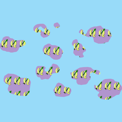
Allows for filling polygons with a tiled raster image. Options
include (data defined) file name, opacity, image size (in pixels,
mm or map units), coordinate mode (feature or view) and rotation.
626 KiB
400x400px
626 KiB
400x400px